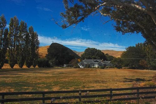
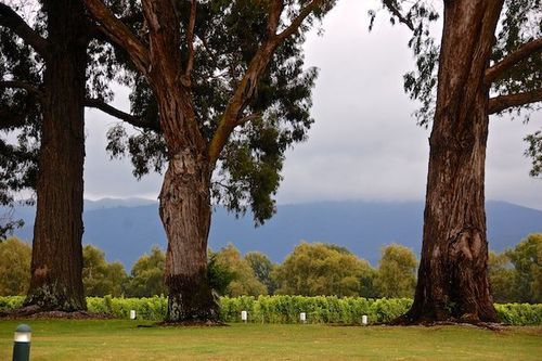
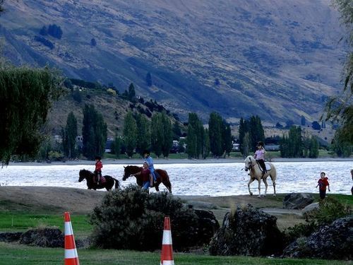
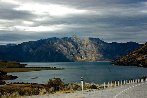
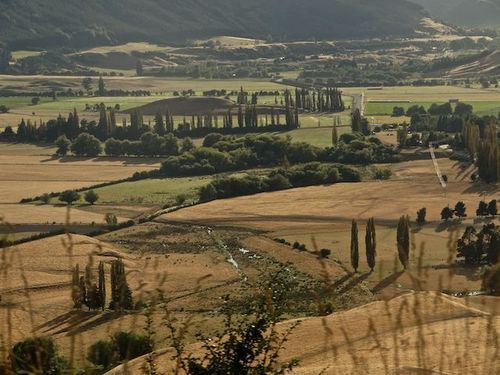
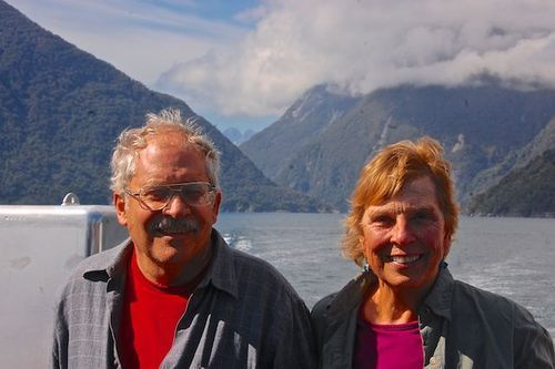
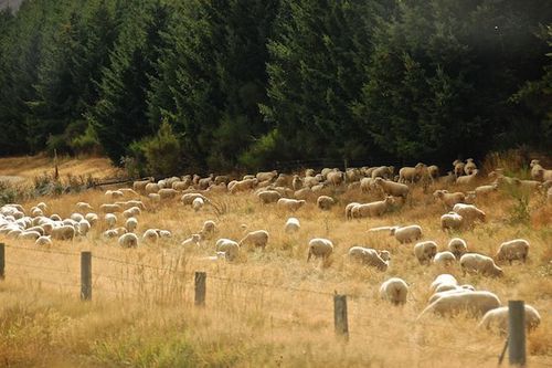
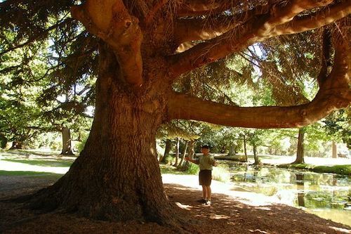
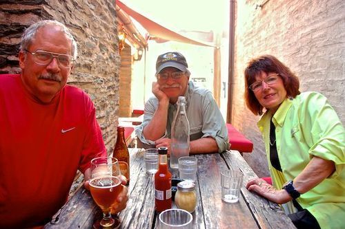
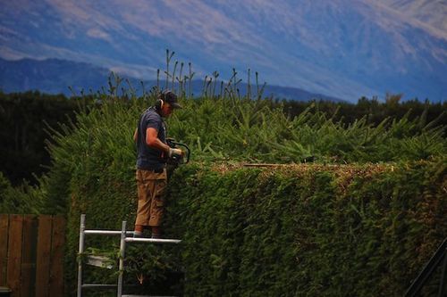
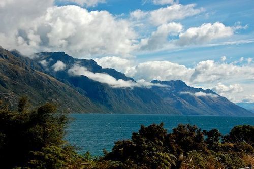
A scene from the late summer New Zealand countryside.
New Zealand has been on our wish list for thirty years. Finally, the year was right to go. Our friends, Jackie and TJ, accompanied us on this adventure. The four of us have vacationed together in Costa Rica twice, Guatemala once and numerous river trips in the U.S, and they are now our neighbors.
The morning we were to leave from Phoenix (Kathy kept Mollie for 3 weeks), TJ calls and tells us they may be delayed a day or so because possible cancelled flights due to bad weather in Denver. Alternate plans in hand, we take off for San Francisco, our gateway out of the country. Good luck was with us and they joined us before our night flight to Aukland, New Zealand.
I’ve never been on a plane this big before. It was an older one that was quite noisy. Mike and I gave up trying to talk to one another. We arrived at 8 AM San Francisco time after a 12 hour flight – the local time was 5 AM.
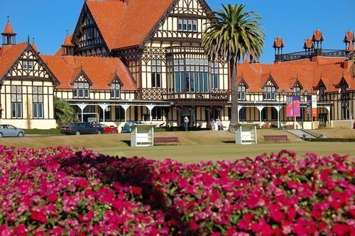
The lovely Tudor-style museum and gardens in Rotorura, North Island. Originally an exclusive bathhouse, it was built in 1908.
First a bus downtown, then another to Rotorua. We took short 15-minute naps on the three-hour bus ride. The hotel owners in Rotorua couldn’t come to get us, but we were assured it was not far. Only a mile and a quarter later!!, we towed our various suitcases into the registration office of the hotel.
That afternoon we went on a scenic gondola ride, nice; but not spectacular. That evening we ate at one of the many good restaurants in downtown Rotarura. Mike and I shared an interesting meal of small chunks of beef, duck, venison and chicken which were sitting beside a 1100 degree F. volcanic stone. They heat the stones in a kiln! We would cut off a small piece, put it on the stone, cook a few seconds, flip it over for a few more seconds, then pop it into our mouths. Very good, and truly a fun meal.
The next day we had to leave Mike at the hotel as his back really flared up. I gave him both Mobic and Flexeril, so he slept. At 9, TJ, Jackie and I were picked up for a morning “thermal” tour. One geyser erupts on command, by the ranger putting a soap equivalent into it and within minutes, it blows it’s top. The story is that prisoners decided to rinse their soapy clothes in the geyser and a few minutes later it erupted sending all prisoners running for cover.
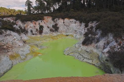
Another interesting feature was a lake with the most glorious lime green water, the most unnatural color imaginable. I have a T-shirt that color! It is caused by a combination of sulphur and arsenic.
That afternoon, I hustled Mike downtown to the hot springs “spa.” The price was $25 each and didn’t even include towels – a single towel cost another $10, five dollars of which was refunded when you returned the towel. One pool was 100 degrees, another 102, another 105 and the hot one; 107. I know the heat was good for Mike’s back.
This lake was truly this color! Combo of arsenic and sulphur.
Two Days Later
We flew into Christ Church, South Island, about an hour before Jackie and TJ, so we called for a shuttle to the rental camper place and began the paperwork. We just finished most of it, when they arrived. Then we all were given a “tour” about the care and feeding of the camper itself. We finally left around 1PM… .
Immediately, I got turned around and sent Mike (the first driver) back through the airport. We kept going round and round and couldn’t get out! Mike was getting a bit frustrated. Not one of us envied him as he was struggling with a new large camper, driving on a different side of the road, turning corners differently and trying to judge distances to be driving off the center line.
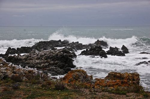
After a stop for groceries, we tooled north alongside the ocean with absolutely huge waves, just like you see in the movies. Many rocks, waves, birds and sound of waves crashing. Mike spied a marvelous spot to camp, right beside the ocean. The next morning we stopped at a seal “nursery.” What fun! Watching the pups play and cavort with one another on the ocean’s rocky shore, the mothers‘ chasing their little ones, and six pups playing in a little “hot tub.” Delightful.
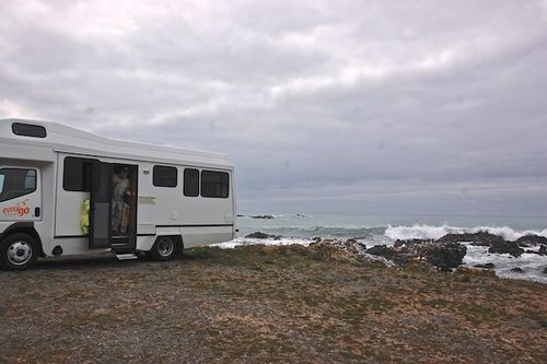
Our camper van on South Island with glorious waves crashing just out our window.
We drove on north to Blenheim, in the north part of the South Island. Near Blenheim are many of the famous NZ wineries. We had lunch at one, and that afternoon, Tj and Jackie visited others. The hundreds of acres of wines growing here are grown in very upright, narrow rows. Almost all are machine picked, as opposed to being hand picked as in California. I don’t know about France and Italy … .
At one winery, Mike and I took the camper out for driving lessons for me. No problems, except that I believe it is not possible to shift from 3rd to 2nd while the vehicle is still moving. The gears just don’t mesh well. (lst gear was granny-low that we never used.) We all cringed every time one of us had to shift from 3rd to 2nd – those grinding gears were loud!
The camper is honestly of pretty shaky quality; well, a bucket-of-bolts actually. Everything works mechanically, but it rattles like an old truck – which it probably is. It is so noisy you can barely talk when on the road, and certainly not from the front seat to the back or vice versa. We never got the hot water for washing dishes going until the end, and the company wouldn’t give us a second set of keys, so as two separate couples, we always had to work that out. Otherwise, Mike and I thought it was fine, but then we’re used to living in a small space.
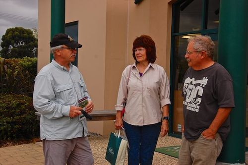
TJ, Jackie, and Mike in Blenheim wine country.
We crossed the central mountains through Buller Gorge. When the water is higher in earlier summer, this is a great rafting river. Years ago there was a huge flood in the Buller Gorge that raised the water level 40 feet. Trees in the gorge are mostly deciduous. The elevation is about 500 feet.
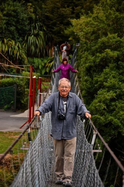
The swinging bridge across the Buller Gorge that led to a short hiking trail.
We started south on the west coast of NZ. Mike and I took a white heron birding tour to a reserve. Unfortunately, it is the end of the summer here, and birds have grown and flown by now. We actually only saw three of ANY type of bird. The transportation to get to the reserve was pretty comical though: first our group rode in a van, then behind an ATV pulling a trailer, next came a delightful jet boat (what fun going sharply and fast around bends in the river). Next in our journey was a slow pontoon boat, and finally, we walked to the bird blind. But, there were no birds.
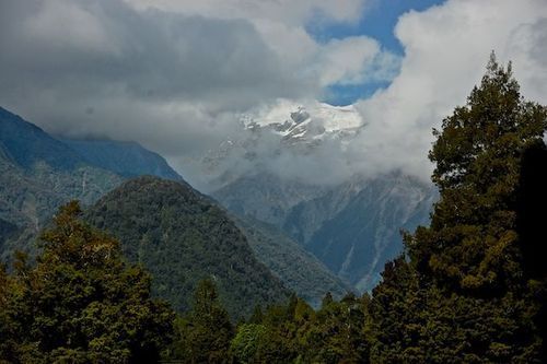
The rain forests were beautiful on the way down the rugged west coast. The back drop of the snow-covered mountains earned their name “the Southern Alps.” There are so many types of vegetation, all of it a lush green in spite of the recent drought of seven weeks with no rain. Ferns grow along the cliffs of the highway and these are trimmed to keep them from overgrowing the highway. The coast gets between 200 and 400 inches of rain a year and the rain forest shows the result with a lushness I’ve only seen in Costa Rica. The rain forest continued inland as we cut towards more centrally located Queenstown.
Mountains of NZ know as “the Southern Alps.”
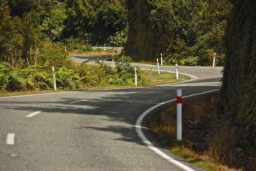
Curvy, curvy roads and switchbacks tighter than I’ve ever seen. One lane bridges everywhere in the mountains.
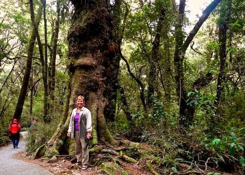
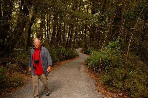
With over 300 inches of rain a year, it IS a rain forest!
At Haast on the coast, we began the morning in mist, but lost it when going inland over the mountains. It is drier inland, reminding us more of Telluride or Wyoming. However, some of the big pine trees there, and all over the island, are some of the most magnificent I have ever seen, except for the redwoods in California.
We made our way to Wanaka which is a pleasant medium-size town north of Queenstown about 1 ½ hours. It has a beautiful lake with all kinds of activities on the beach – swimming, sunning, sailing, horseback riding, sailboarding. I also has a nice group of little shops.The next day we dropped off Jackie and TJ for a two-hour hike. We went back in to town and suddenly an air show began with five single-engine acrobat airplanes. They flew five together; then four, then three, and finally two would do formations. One formation was a lovely heart. TJ and Jackie were also able to see the planes from their hillside hiking trail.
My turn driving towards Queenstown began JUST before we headed down some horrendous switchbacks – some of the tightest I’ve ever seen on a paved road. The Queenstown valley is broad and lovely. I drove through the city traffic with TJ navigating us to a campground close to the rafting place where we had reservations for the next morning.
The lovely Queenstown valley after coming down horrendous switchbacks
The raft trip was great. Mike’s back was bothering too much to go, but they invited him along on the bus to and from the put-in. Quite a drive up, then down, different switchbacks, but these were on a gravel road. The canyons on the way to the put-in were incredibly steep. Mike had pleasant visits with the driver and photographer on the way back.
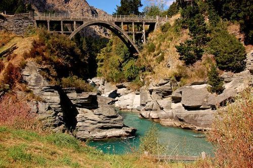
The Shotover River was quite low, but still had many rapids like Pinball and other rapids on Browns Canyon of the Arkansas. The water is so clear, with a beautiful blue color where there is a white bottom. Rock canyons are very steep, and most of the rocks are gray, no color in them.
Our incredibly strong guide, Chief, was a full-blooded Maori. Because my hip was bothering a bit as I twisted in my seat in the raft, he brought me back with him, so I could sit straighter. We were able to visit a bit. He told me that he kept breaking paddles, so his buddies gave him this very stout paddle that weighed a TON!
We went down a sluice and a few other rapids that were quite fun. Once we had to “lowside” the raft, and Chief jumped out and lifted the opposite side past a tight rock.
Then there was the tunnel built by miners, about 500 feet long. We diverted from the main river into it and were bouncing down this tunnel when Chief yells at the two bowmen to be ready to paddle hard. Suddenly we break out and are careening down another bumpy sluice. About halfway down I burst into joyous laughter. What KICK of a ride! Loved it!
TJ was hoping for much higher water, but, as with the birds, it’s late summer here, so lower water. So for reasons of birds and higher water, perhaps November would have been better for Mike and TJ. On the other hand, our weather was mostly sunny, not rainy and cloudy as their November late spring would have been.
The wonderful arched bridge over the Shotover river. We saw ajet boat come careening around this curve.
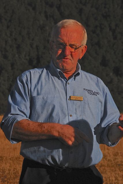
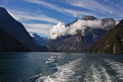
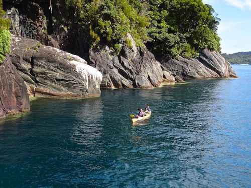
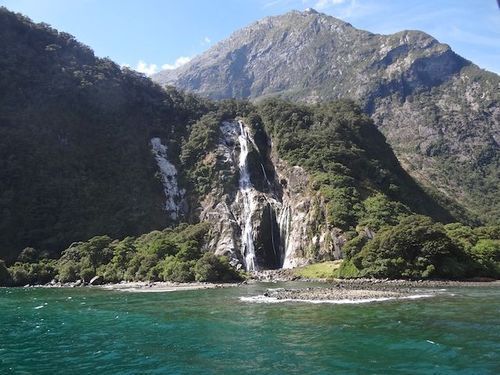
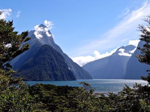
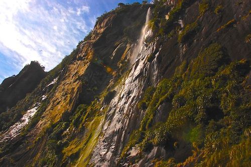
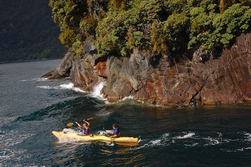
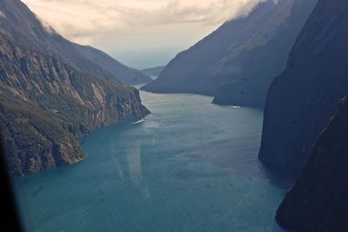
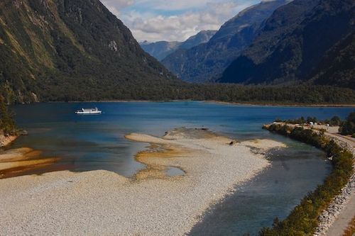
We did have fabulous weather for the famous Milford Sound. All of us were prepared for cold, winds, mist, rain and full cloud cover. This the norm some 300 days of the year. TJ and Jackie took a sea kayaking tour on the Sound. Mike and I reserved a tour to the Sound and back (about 50 miles from Te Anau) with a wonderful ex-sheep rancher. He was incredibly informative and answered many of the questions we had come up with in the previous two weeks.
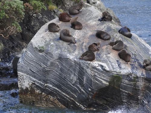
At the Sound itself we transferred to a boat and rode along under sheer granite walls out to the ocean and back. Odd to think, Antartica was the next land mass straight south from the mouth of the sound.
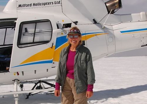
As the frosting on this long-awaited cake, I capped the day off with a helicopter ride over, and stopping on, a glacier. Absolutely glorious! Mike said I looked like a 6-year-old as I danced back to the van after the ride.
The next day, we began our trip back across the island to the east coast. Driving had been an experience. Not only driving on the left side of the road (that was the easy part) but also automatically reaching for the shift lever on the left, turning curves properly and staying towards the center of the road. Negotiating the one-lane bridges which are on every road in the mountains took extra concentration to learn who had the right of way.
On the road, the Kiwis (New Zealanders) hate RVs. We did our best to be courteous, let them pass, etc, but we ARE slower and don’t always know where we are turning. In addition, they are amazingly cautious about passing, even when no one is coming and the road ahead is good. The roads are narrow and not many places to pull off to let cars pass.
As expected, it is an expensive country to visit. Campgrounds are $60 a night and this doesn’t include showers or WiFi. Restaurant meals are $50-60 couple. Tours run about $150 a person. Diesel was $7.50 a gallon and the first grocery stop cost $300 between us. One just has to say, oh well, and keep going.
One night on the west coast we stayed at Hari-Hari. No reservations –we just stopped as we were going by. It cost only $40 to camp, and the showers and internet were free. We ate in the tavern restaurant. The people were friendly, the beer good, the servings of fish and chips were enormous and they had Pavlova cake: a tasty meringue with fruit on top. Altogether a great stop. More our style of serendipity travel.
The west coast of New Zealand is a strip caught between the mountains and the ocean. Very scenic, rugged mountains, small little towns. Homes around the two islands are well painted, not large, and very neat. No trash. Farms are neat with trimmed hedges everywhere (very British) and clothing and cars seemed perfectly normal to us. I felt the people, for the most part, were friendly, but reserved. The English influence also, I suppose.
A couple of charming differences I noted. One was the sign to “Yield” that read instead: “Give Way.” Food for take-out is “take-away.” And, it seems most New Zealanders eat with a knife in their left hand and a fork in their right. Interesting to watch.
Except for the Buller Gorge, pine trees are everywhere, and some of them are hundreds of years old with massive trunks. Oddly enough, some of these huge trees have been chopped into hedges recently, leaving huge limbs just chopped off and showing out of the hedge.
Actually, there are hedge rows everywhere; from all different types of shrubs and trees, some deciduous; some evergreen. Most are trimmed with hedge trimmer machines and are 4 to 12 feet high, and anywhere from 4 to 8 feet thick. They surround small pastures of 5, 10 or 20 acres.
They seem to do the type of pasture rotation of turning in a very large number of animals for a few days, then move them on to the next small pasture to be grazed down. This system has been promoted in the US as a better type of pasture management, but has not caught on here, probably due to extra labor in fencing and moving animals.
They plant trees for logging and can get four full cuttings in 100 years. Years ago, redwoods were introduced from California and they grow twice as fast here as in CA. The Island is as far south as Montreal is north, but much warmer and moist because of the ocean currents. The whole east coast of both the North and South Islands, reminds me of Washington/Oregon, with a little drier Idaho thrown in.
Two different type of crops seem to be grown: corn and hay. They have hundreds of thousands of sheep of course, “red” deer which they sell for venison in restaurants, and thousands of dairy cows, but oddly enough, we never saw a milking barn! (Their boxed milk is shipped over much of the world. We drank it in Guatemala all the time.)
A range of mountains called “The Remarkables.”
We finally hit some rainy weather on our trip across from Christ Church to the east coast. The day before turning in the motorhome, we took a side trip out to the Banks Peninsula. None of us were prepared for the incredible ruggedness, remoteness, and beauty of the place. One paved road runs the breadth of the peninsula, and it too, had some unbelievable switchbacks. With an underpowered motorhome with gears that don’t want to shift, driving was grueling. But the views were worth it – absolutely lovely.
As a final hurrah, we all went to the Antartica Museum in Christ Church. It is simply NOT to be missed. When graduating from college, Mike had an opportunity to be a mechanic in Antartica for a year. He passed it up, for me. He said, that before seeing the museum, he had never before thought about what an adventure he missed! (But he got me!)
The following day, TJ and Jackie flew to Aukland and toured the wonderful museum there. Mike and I took the bus to downtown Christ Church and saw the restoration of buildings after the tremendous earthquake two years ago and also went to the Christ Church museum.
It WAS a trip of a lifetime. The expense of both air and ground transportation and the difficulty of the 12-hour plane ride serve to deter one from considering the trip frequently. But it certainly was well worth it.
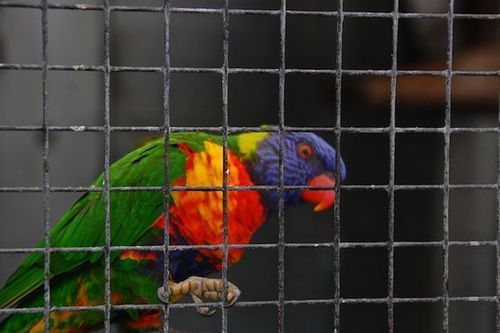
What a colorful parrot is a park we stopped at which also had lovely gardens.
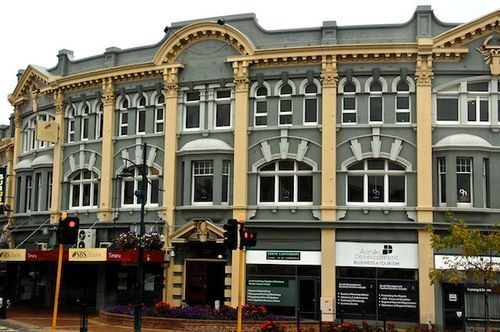
Typical style building in a city along the way.
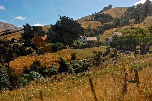
Farmhouse on the rugged Banks Peninsula east of Christ Church, our last destination before dropping off the camper van.
An area between Puerto Montt and Temuco is the Lake District, and is a popular resort area for Chileans. We headed for Villarica and Pucon which was as far north as we planned to go. This again is a temperate rain forest, but an area in which many volcanos stand head and shoulders above the surrounding mountains. Several are still active.
It is in this area that the Mapuche Indians repeatedly fought back, attacking settlements founded in 1553 until 1796, when they finally signed a treaty.
Later, in the 19th century, German and Swiss immigrants cleared land, and carved out small dairy farms among the valleys and hills. Now, the countryside is a mixture of temperate forest, lovely pastures of well-fed red and white dairy cows, and cabanas for rent everywhere, ranging from splendid to pretty marginal!
Volcanoes loomed in the distance above other mountains. The red bush/trees and yellow shrubs, that we saw further south, were blooming on the flanks of the forested hillsides. Homes were abloom with rhododendren, azaleas, purple iris, roses and fruit trees in their yards. It is the full blush of spring here and driving down the country roads are such a treat.
We drove in to Tres Saltos (Three Waterfalls), a very secluded farm off the main road. The bottom falls was lovely, and Mike hiked up to the upper two falls for his exercise for the day! There are many hot springs in the area which we checked, but either temperatures are too hot, too cool, the path to get to them was too difficult for me, or the cost was unreasonable for just an hour or so that we would stay.
Business bldg in one tourist town.
Old German farmhouse that was huge!
The next morning we spotted a sign for a bonsai garden. I had to stop! The charming gentleman had nearly an acre of hundreds of bonsai that he had been working with for nearly 35 years. He walked around his garden with small snippers in his hand, stopping here and there to snip back stray tips. A sign out front said this was the home of the Brazilian consul. . we met his friendly wife who spoke English, and assume it must have been she who was the consul.
One of three days it was warm enough for lawn chairs.
The next day — we were in the next valley south (our favorite of the several valleys) and skirted around Siete Lagos (Seven Lakes) as we made our way to Puerto Fuy — nearly at the Argentine border. As a lark, we took the ferry towards that border on a 4-hour joy ride, at a cost of about a $1 each for the afternoon.
The lake was long, narrow and twisted around with forested hillsides. On our stopover at the other end, Mike began visiting with the captain and spent a good half hour on the way back visiting with him up in the bridge of the ferry. Just as the port came in to view at the end of our trip, the clouds lifted and we were blessed with a beautiful view of the nearby snow-capped volcano, Choseuhuenco.
A company in the local area is building a resort, containing a luxurious hotel, fancy cabanas, restaurants, a museum, hiking trails, zip line canopy tours, paint ball area, and ticket office for waterfalls.
We first went to the Volcano Museum, not that it was about volcanoes! It had a huge collection of Mapuche Indian relics and an even larger collection of rocks and polished rock balls of the most incredible variety. Hundreds of beautiful rock globes in blues, greens, reds, tiger stripes, on and on, sitting on the shelves glistening under the lights.
This is a mining country and these are rocks that have been found in the mines all around Chile. The museum itself is still under construction. It is being built with the idea of showing the big bang theory of creation.
Photo of Mapuche women resting
The so-called Volcano Museum
We went into Salto del Huilo-Huilo, a 121-foot waterfall, that pours an entire river of about 2000 cfs (think the Arkansas at late June medium water flow) through a 30-foot wide cleft in the rock. The plume of spray shooting up from the bottom of the falls was perhaps 80 feet into the air. It was one of the most impressive waterfalls we’ve ever seen!
Further downstream was a only slightly less impressive Puma waterfall. And on downstream further, the River Fuy crosses under the highway in a half-mile of solid whitewater, with class 4-5 holes the whole way!
Huilo-Huilo Waterfall, 121 foot high
Puma Waterfall
We finished up our tour of the Lake District of Chile, by going back south towards Puerto Mott, then east from Osorno. Lots of hiking in the national parks, but not much to keep Mike and I. The area here is much less manicured than further north. As a whole, the Lake District is a tourist area for those wanting to do day hikes, go boating on the lakes, or sit on the beach. Some pricy hotels and cabanas are found here, as opposed to the nearly exclusively rustic places we saw further south in Patagonia
The southern portion of Chile that we visited, from Temuco to Tierra del Fuego was roughly three widely different areas: the southern Patagonia around Punta Arenas to Torres del Paine which is remote, dryer, and rough and tumble.
Then the middle Northern Patagonia Carretera Austral Highway section from somewhat south of Chile Chico to Puerto Mott — tracts of untouched wilderness, beautiful, stunning mountains and glaciers, and fast flowing rivers, with small farms studding the valleys.
The northernmost lovely Lake District from Puerto Mott to Temeco has the stunning views of lakes, volcanoes and pastoral scenes — a huge tourist area.
View over one of the Siete Lagos (7 lakes)
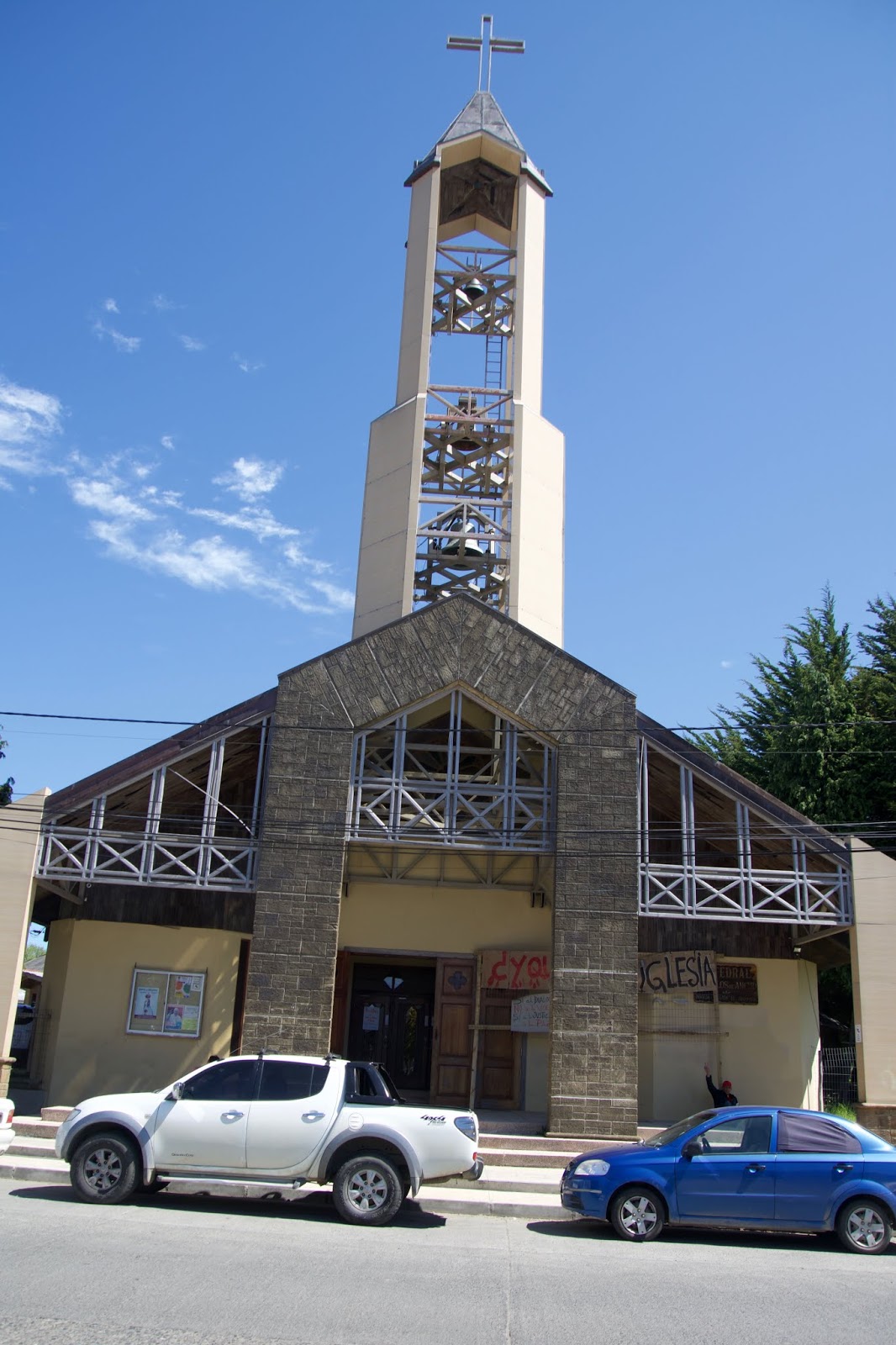
Yes, this is a church.
OUR LAST WEEK IN CHILE
As we were passing by Puerto Mott on our way down to the island of Chiloe', we wanted to run by the airport to familiarize ourselves with it. And, we wanted to reserve a hotel room for the night before we fly out, so we can clean out the camper and pack and have showers.
We found the airport, but looked in vain for hotels, motels, cabanas, camping spots . . . . nothing. Until Mike spotted a motel sign. We stopped, rang the bell and a lady began chattering through the intercom. I finally requested we “hablamos en persona” (speak face to face). She slid the gate open.
We told her we wanted a room for the night of Nov 28, and she began shaking her head and chattering again. (Chileans speak so fast!) We indicated we understood nothing. She got her phone and began to translate. She showed the translation to Mike: “Motels are different here! Three hours.” Mike burst out laughing, and managed to tell me, “The rooms rent for 3 hours here.” I burst our laughing, as I understood immediately that we had happened upon one of the “NoTell Motels”, which are prominent in Mexico, but we hadn’t seen any here. (Divorce was only legalized here in 2017!)
But no amount of talking would convince her to allow us to make a reservation for the whole night. I admit we chuckled the rest of the day over that encounter.
Language here has been very difficult. Our Mexican Spanish is virtually worthless except when asking for something. When they talk to us we understand nothing at all— maybe two words out of 50 or more for Mike; none for me. As a result we have not been able to connect as well with the Chileans as we normally have in Mexico. I don’t ask more questions than I have to, nor initiate conversations. We both have felt a little more isolated.
I have given up smiling at people as they don’t acknowledge you. Perhaps it’s a European thing, but it’s so different than Mexico. For example, in a market, if I move out of their way, they don’t so much as look at me, much less murmur “Gracias.” Or driving down the road, they may look up at us, but they don’t return a smile. Other times they ARE friendly. . . . you just never know.
Showers and laundry have been equally difficult to find here. It’s impossible to ask directions for a laundry — we could never understand them! A sign outside is all we can hope for. And showers! Few and far between, we have to admit.
Groceries. I buy yogurt, milk, cereal of sorts, crackers, cheese, and not much meat. Meat is either not appetizing looking, or is too large a piece, or I have no good way to cook or season it. We eat raw veggies of cucumbers, carrots or red peppers when I can find good quality ones (not wrinkled). We also eat lots of great fruit; oranges, apples, bananas, wonderful apricots, strawberries and cherries.
Restaurants. We tried to find restaurants but they are so hard to spot. Rarely a name, most usually a small hand lettered sign on the front: Comida. They always look closed, or too run down, or it is the wrong time of day, or we have just eaten in the camper, or we can’t find a place to park. We’ve only eaten out about 5 times in five weeks. We never have managed to find breakfast out anywhere.
Safety. We never feared even one time for our personal safety. We boondocked, just stopped for the night, anyplace we chose. No problems and no one ever asked us to move. The riots in Santiago and the largest cities of Chile affected us only by the cancellation of the ferry that one day.
ISLA DE CHILOE’
Some of the palafitos (stilt houses) in the town of Castro
Another ferry ride, this one of only about a half hour, brings us south of Puerto Motto to the island of Chiloe’. We check out Acun; nothing interesting. We keep on driving south and reach Dalcahue. A lavenderia! Eureka! Then a good supermercado and a fruteria AND — an ice cream cone! Wonderful. Now what? Well, let’s take the ferry over to that other island. . . what’s it’s name? Oh yeah, Isla Quinchao.
We drive towards the embarcadaro — and they are loading the ferry right now. We whip right on there, get parked and say, “Boy, that was fast.” Then Mike wonders outloud, “Gee, I wonder where this ferry goes!?!?” We begin laughing, and before we can catch the attendant to ask, we are on our way! Fortunately, it was only a 10 minute ride to the island to which we intended to go.
Quinchao Island
This island is charming, more so than the main island, Chiloe’. It is very hilly with a veritable patchwork of greener pastures, shruby fence rows, wild woods and interesting homes. The homes in one little town, Achao, were nearly ALL covered in wood shingles with interesting architectural features of bay corner windows, old or new.
Many have different and interesting designs cut into the edges of their shingles. And the colors! Natural aged wood which is now a silvery gray, or stained in reds, or greens, OR painted in brilliant or pastel colors of every color in the rainbow: red, rust, blue, green, yellow, pink, lavender, blue. . . Then they add a contrasting trim of another bright color! Delightful.
And best of all — we found a wonderful, clean hot shower at a gas station at this end-of-the-road town on this tiny island! We kept exploring different back country roads and follow a double semi-truck down to a dock before turning around. Later in the day, and many miles away in another town back on the main island, we were sitting at a light waiting to turn, and this same trucker recognizes our camper and gives us a big wave and grin as he flies through the intersection.
Back on the main island at the larger town of Castro, we find some interesting and colorful shoreside houses on stilts and a couple of interesting birds at the seaside.
We head off to another island, Lemuy. After another ferry, we go down back roads again. This time we don’t find much, but spent the night in an old quarry. In the morning, some farmer’s cows were out. We were awakened by a bellowing bull courting the heifers across the road, while his own cows were quietly munching grass outside our camper.
Back across to the main island and to another small settlement of Quemchi at the end of the road. This one had lovely boats in the harbor, a nice OPEN restaurant and the prettiest, quirkiest church to date.
Pulling back on the main road, I spied a team of oxen hitched to a wagon load of wood. We stopped and Mike crossed the road to take a picture for me. Coming back, he glanced down and exclaimed “Oh no!”
Another flat tire, the third time for that particular tire —and at the same time, it began raining. We pulled into a lane to change it, then discovered that the key that locked the cable in place around the spare tire was missing.
I immediately began cleaning out the cab of the pickup to begin packing: We didn’t know if we were going to have to leave the motor home there and take a bus back to Puerto Mott or whether when we called the company, they would come to rescue us. Mike called from a house across the road, but the company’s only suggestion was to cut the cable, to which Mike replied, I have no way to do that! End of conversation.
Fortunately the gentleman at the house grabbed some tools. He crawled underneath the camper with a crowbar and a hammer and pounded and pounded until the cable broke. By this time, I had gone through our food stuffs and put together a huge grocery bag full of things we would not be using, and we gave this to him as a grateful thanks.
Two hours after stopping, we were pulling back onto the road. But something was drastically wrong— the truck sounded AND drove really weird. We discovered it had been accidentally put into 4-wheel drive. Relieved, we started again. But it was still weird! Thank goodness after a quarter mile it leveled out and was fine. No idea what made it clunk and shimmy so.
That was our fourth flat tire on this trip. The company sent the motor home out with poor quality, moderately treaded tires. They have been absolutely NO support.
The remaining days until flying out were ones of just marking time. With no GPS or map, our only way into Puerto Mott was a taxi from the edge of this medium sized city. We never were able to find a cabana or affordable room for one night. So we traveled between two gas stations off the interstate — one had good wifi; the other, showers. And we packed our 4 bags of luggage in the small confines of the camper. Chaotic, to say the least.
N. PATAGONIA AND LAKE DISTRICT IN RETROSPECT
How would we recommend traveling in the N. Patagonia and Lake District? We liked the entire area between Chile Chico and Temco, and are not sorry we didn’t go further north. Regarding mode of transportation, we don’t think renting a car and staying at cabanas would be any more expensive than the motor home.
Showers and laundry certainly not be a problem with a rental car. This method would solve some frustrations, but not others. Food would be an issue, unless one wanted to eat out every meal! A cooler would work, if one could find ice! We never saw any for sale. Granted we never looked, either.
Chile is a sensationally beautiful country. Visiting here was culturally interesting, but frequently frustrating. As always, traveling is an experience; one of the country, another of the people and culture, and probably most telling - one of learning about oneself!😏
View on the island.
The street down to the embarcadero. Note colors.
A lovely trio in one of the town's harbors. Well, that's all for this trip, folks!